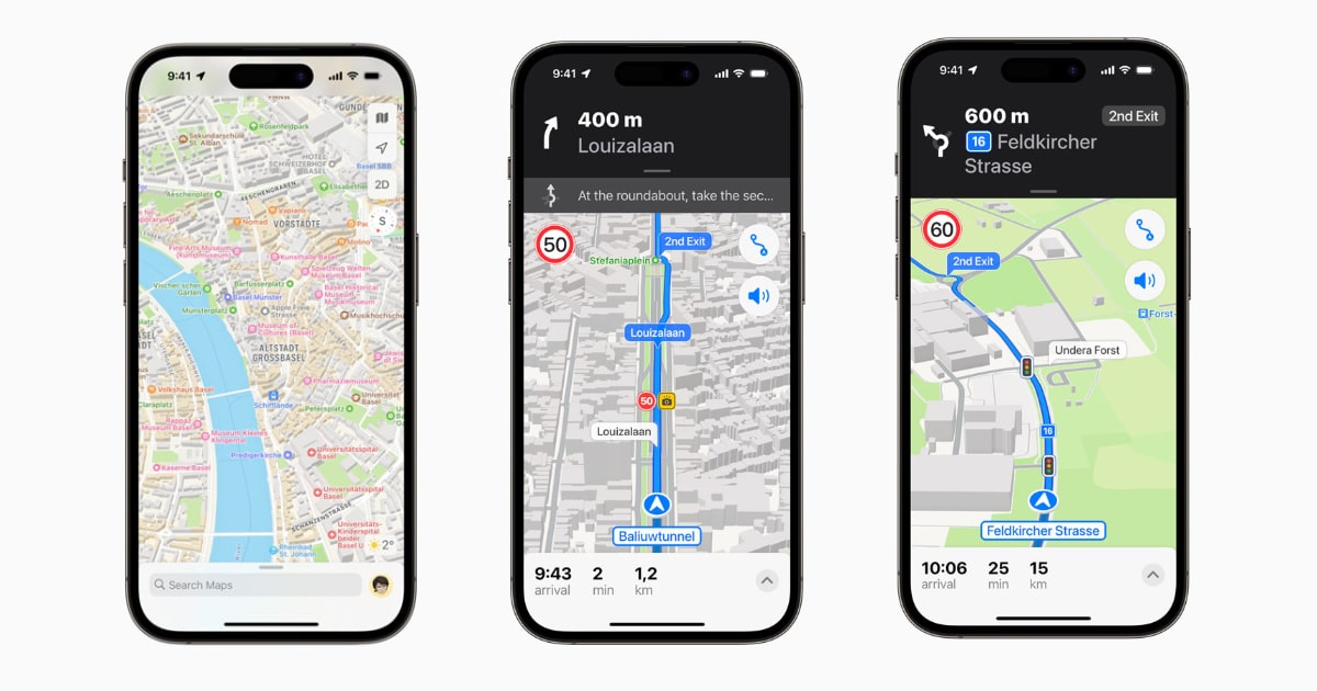
Apple today announced the expansion of the redesigned Apple Maps experience to the Netherlands, Belgium, Liechtenstein, Luxembourg, and Switzerland. Not only will the navigation be faster and more accurate in the regions mentioned above but there are also a bunch of additional features users will be able to enjoy such as 3D models of popular landmarks, more detailed roads, and more.

Revamped Apple Maps now available in the Netherlands, Belgium, Liechtenstein, Luxembourg, and Switzerland.
“With Apple Maps you can explore the whole world without compromising your privacy. We’re excited to extend the benefits to even more users with the new features we’re introducing today,” said, Eddy Cue, Apple’s senior vice president of services. “Maps has been completely redesigned and now offers better navigation, more detail, better information for places and great features that only Apple can offer, such as ‘Look Around’ and ‘Natural Language Guidance’. It is now easier than ever to plan trips to your favorite destinations.”
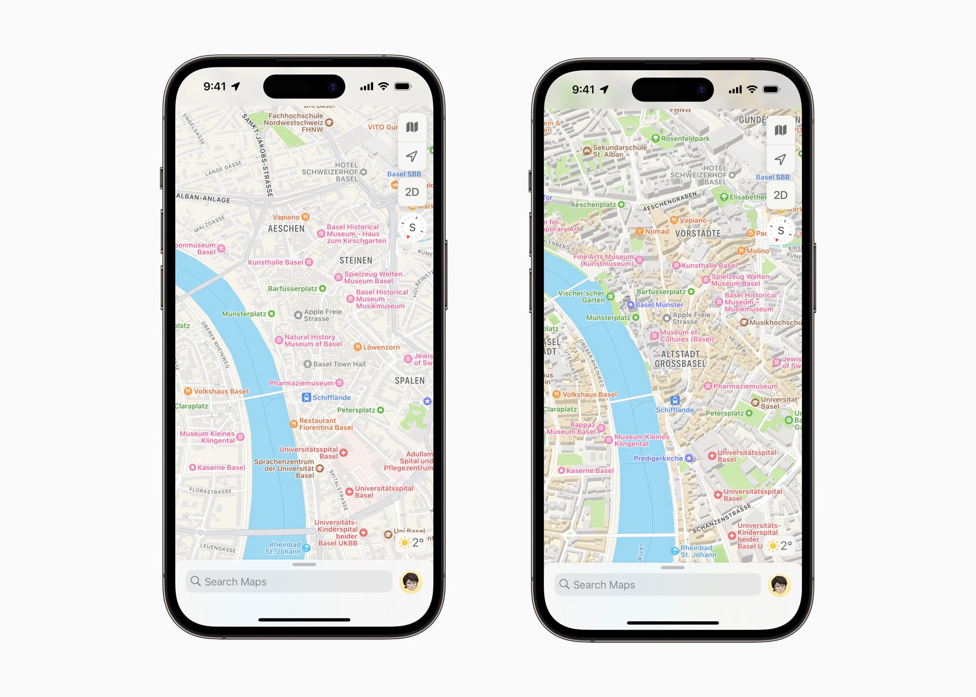
With the revamped Apple Maps experience, users will be shown more detail, accurately depicting buildings, parks, airports, and shopping centers. Check out the comparison Apple has provided between the old and updated Apple Maps experience:

Users in these five countries will now be able to take advantage of the Siri Natural Language Guidance feature which provides directions that are easy to follow. For example “Turn left at the next traffic light”. With iOS 16, users will also be able to plan trips with up to 15 stops. Drivers with certain EVs will be able to plan their journey with suitable charging points. In addition, users will be able to share their ETA (estimated time of arrival) with just a tap.
The Netherlands, Belgium, Liechtenstein, Luxembourg, and Switzerland now support the Look Around feature in Apple Maps which provides high-resolution street-level images, 3D photos, and smooth transitions.
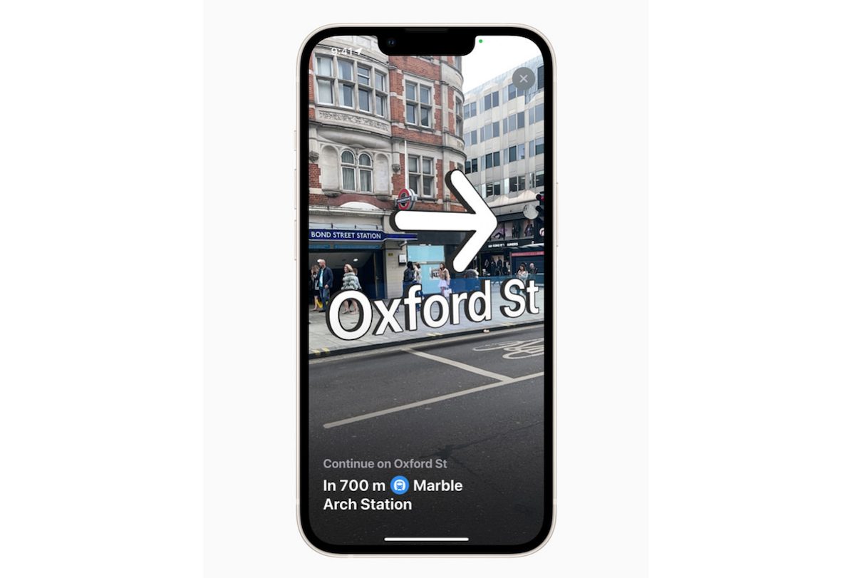
The last major feature is visual walking instructions which give users turn-by-turn augmented reality instructions. The feature works by holding up an iPhone to scan nearby buildings.

Other features include Cities in 3D, the ability to save a frequently visited location to Favorites, and Flyover, which allows users to view certain metropolitan areas in photo-realistic 3D rendering.